About Pendik, Istanbul
Shipyards and a marina on the Marmara, a historic railway station, and Sabiha Gökçen Airport on the same district map. This guide explains how Pendik fits together and what that means when you choose a flat.
- 750,435People living in Pendik (2022)
- 190km²District area, from the shore to the airport
- 9kmOf Marmara shoreline
- 36Mahalle on the title deeds
Pendik on the map
Pendik sits on the Anatolian side of Istanbul, on the northern shore of the Sea of Marmara. Kartal lies to the west and Tuzla to the east; inland it borders Sultanbeyli, Sancaktepe, Çekmeköy and Şile, and to the north-east it meets Gebze in Kocaeli province. Its 190 km² make it one of the larger districts in the city, and with over 750,000 residents it has more people than any other district on the Anatolian side.
Romans and Byzantines knew the coastal town as Pantichium. Modern Pendik grew quickly after its shipyard opened in 1982, and the name survives in Tersane, one of the Marmaray stops. Today the district stretches from the old harbour town on the water to the airport and Teknopark İstanbul further inland.
Trains and the metro
Few districts in Istanbul have as many ways out. Pendik station, in the Batı neighbourhood, first opened in 1872. Since 2014 YHT high-speed trains to Ankara and Konya have stopped here, and it is a Marmaray station as well.
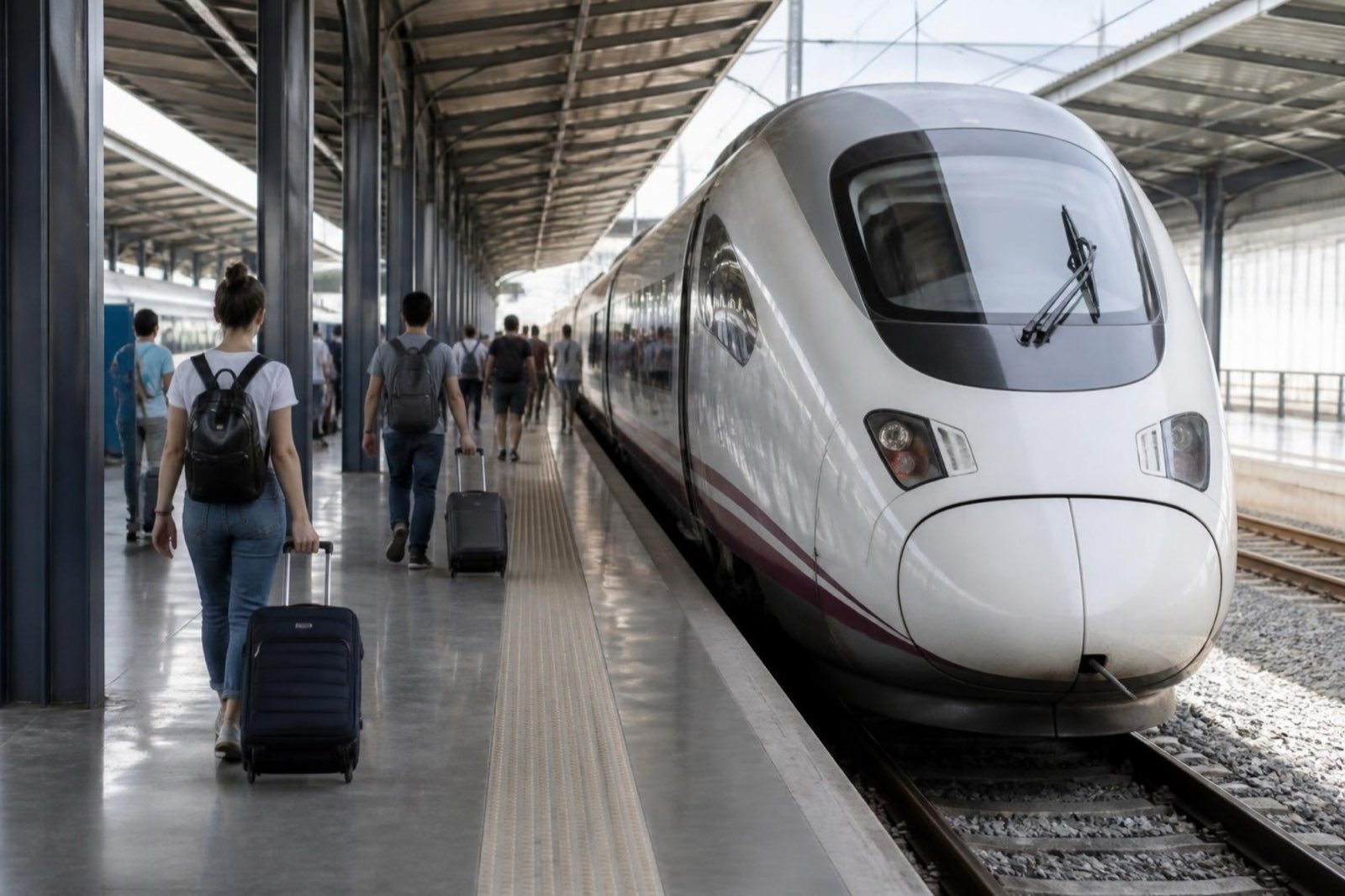
Marmaray Commuter rail along the shore, Gebze to Halkalı through the Bosphorus tunnel
- Pendik
- Kaynarca
- Tersane
- Güzelyalı
M4 Metro from Kadıköy that climbs inland and ends at Sabiha Gökçen Airport
- Pendik
- Tavşantepe
- Fevzi Çakmak–Hastane
- Yayalar–Şeyhli
- Kurtköy
- Sabiha Gökçen
Stops inside Pendik, in calling order
Marmaray calls at Pendik, Kaynarca, Tersane and Güzelyalı on its way along the shore, and runs west under the Bosphorus to the European side without a change of train. The M4 metro reached Pendik and Tavşantepe in 2016; in October 2022 it was extended north through Fevzi Çakmak, Yayalar and Kurtköy to Sabiha Gökçen Airport.
Shore, marina and ferries
About nine kilometres of the district faces the Marmara. Along it you find a yacht marina with shops and restaurants, a seafront walk and the pier for the fast ferry that has crossed to Yalova since 2004, a useful shortcut for weekends on the southern shore of the sea.
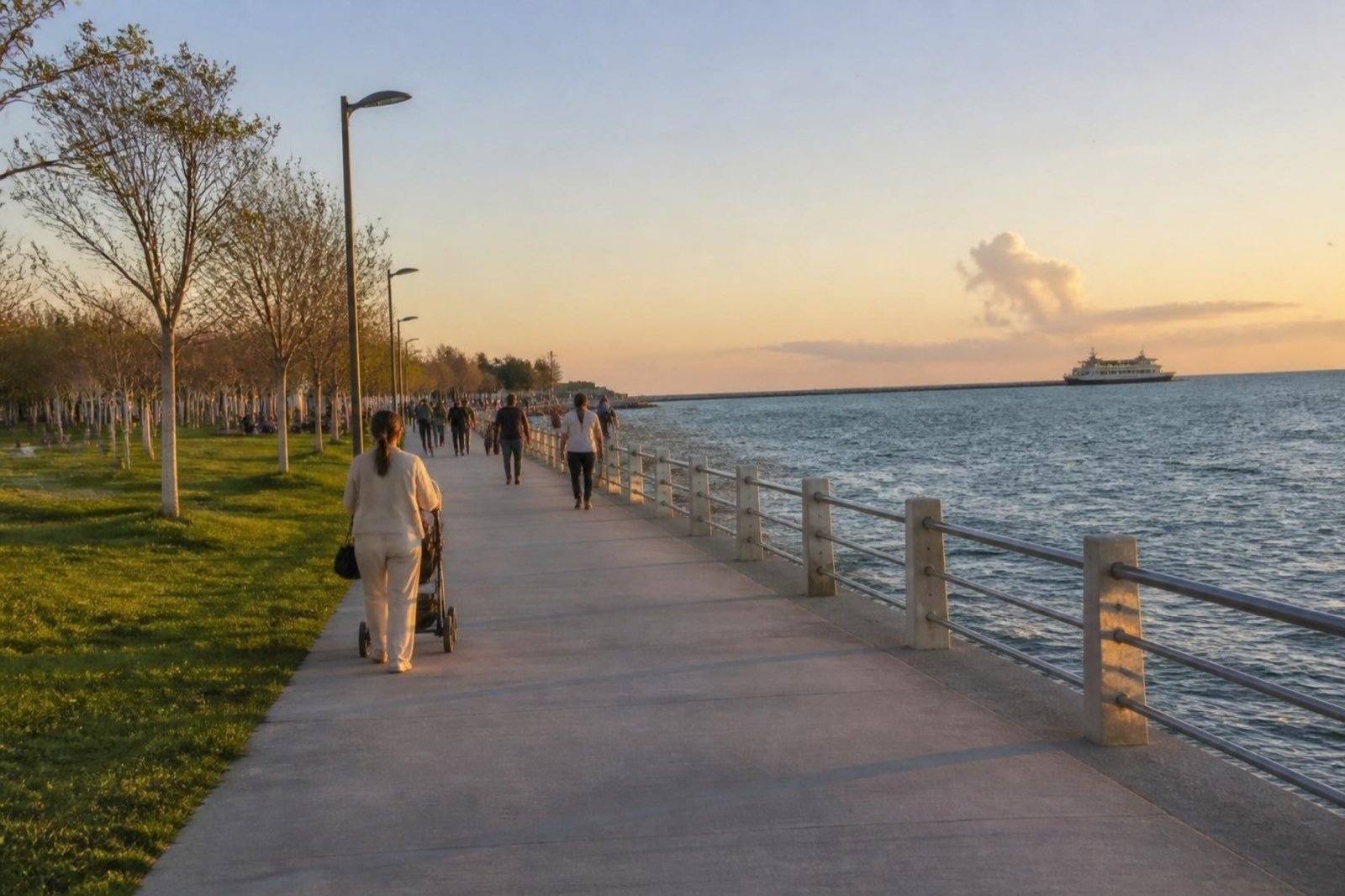
Homes within a few streets of the water are usually the most sought after in Pendik, and a genuine sea view is priced in. Ask whether the view is protected or could be blocked by a future block in front.
Kurtköy and the airport side
Sabiha Gökçen International Airport, opened in 2001, lies within Pendik, about 32 km south-east of central Istanbul. Around it, Kurtköy has become the district’s newer residential quarter, with Teknopark İstanbul beside the airport and the large open-air Viaport shopping centre nearby.
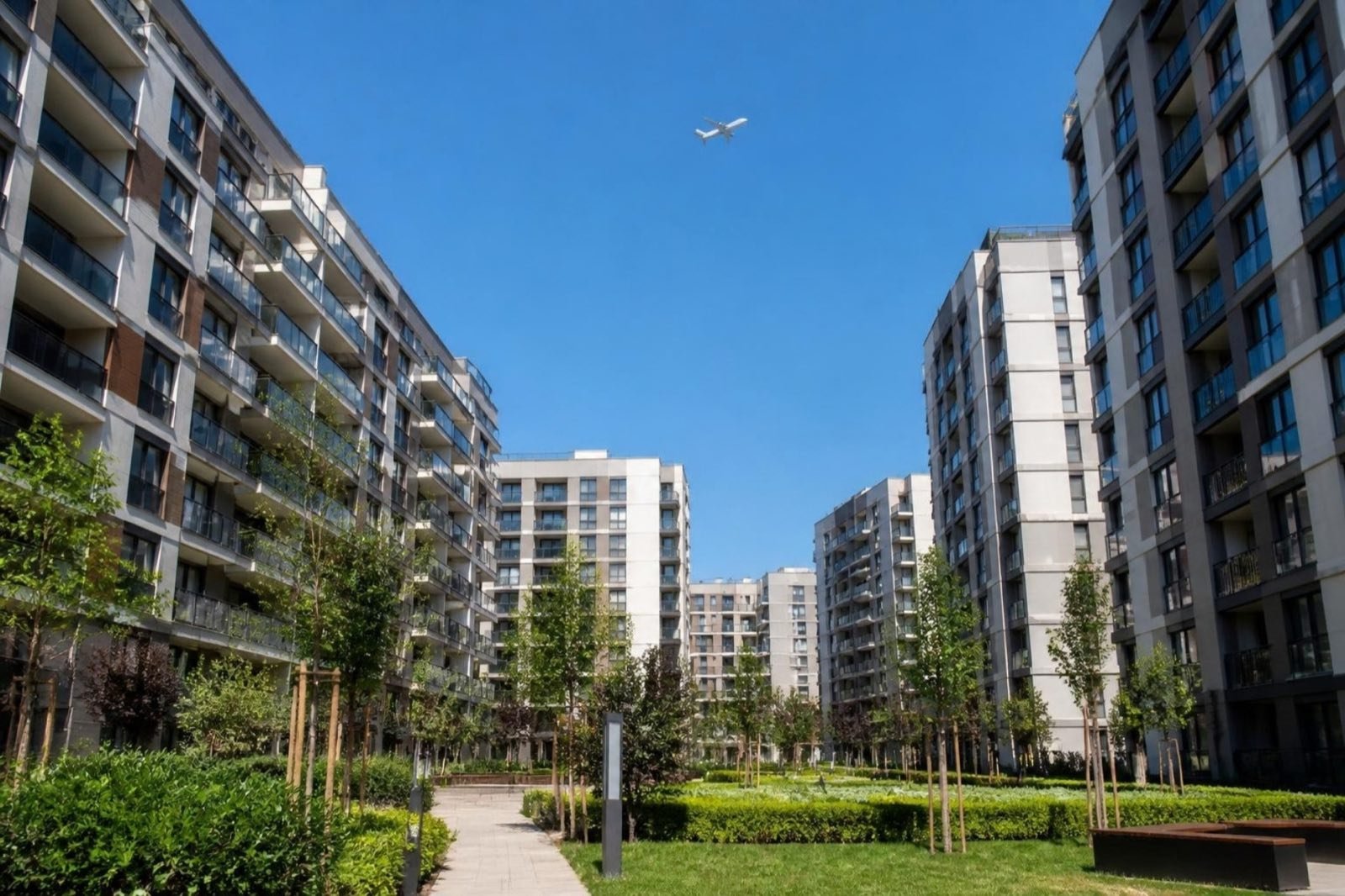
When the airport metro opened, demand for flats in Kurtköy rose sharply, and developers reported that one- and two-bedroom units (1+1 and 2+1) were the most wanted, by people working at the airport and the technology park and by students. For a buyer who plans to let, that tenant pool is the main attraction.
The 36 mahalle
Your title deed names the mahalle (official neighbourhood), and so do most Turkish listings. Pendik has 36 of them:
- Ahmet Yesevi
- Bahçelievler
- Ballıca
- Batı
- Çamçeşme
- Çamlık
- Çınardere
- Doğu
- Dumlupınar
- Emirli
- Ertuğrul Gazi
- Esenler
- Esenyalı
- Fatih
- Fevzi Çakmak
- Göçbeyli
- Güllü Bağlar
- Güzelyalı
- Harmandere
- Kavakpınar
- Kaynarca
- Kurna
- Kurtdoğmuş
- Kurtköy
- Orhangazi
- Orta
- Ramazanoğlu
- Sanayi
- Sapanbağları
- Şeyhli
- Sülüntepe
- Velibaba
- Yayalar
- Yeni
- Yenişehir
- Yeşilbağlar
Pendik station stands in Batı. Kaynarca and Güzelyalı give their names to Marmaray stops near the shore. Fevzi Çakmak, Yayalar, Şeyhli and Kurtköy line the M4 extension towards the airport, and Marmara University’s 540-bed Pendik Training and Research Hospital is also in the district.
Choosing your part of Pendik
Start with the journey you will make most often, then with the view you want.
Shore and marina
For sea air, the seafront walk and Marmaray to the European side. Expect to pay most for an open view.
Old centre and the station
For everyday errands on foot and the high-speed trains to Ankara. Check each building’s age and earthquake standard closely, as anywhere in Istanbul.
Along the M4 to Kurtköy
For newer complexes, more room for the money and a short ride to the airport. A good fit for letting to people who work nearby.